
This article describes the first week, as reported up to 31 August 2026. A few later official figures and findings are added below with their dates. Figures, road status and access have changed since. For a helicopter to Langtang, Gosaikunda or anywhere in Rasuwa today, ask the flight desk before you plan around it.
On Wednesday 26 August 2026 a surge of water, ice and rock came down the Lhende Khola on the Nepal–Tibet border and into the Bhote Koshi. It reached Timure before 8.50am and swept on through Syabrubesi, Mailung and Betrawati within the hour.
Within hours the only road into upper Rasuwa had gone, and in practice the upper district could be reached only by air.
This is what happened, when it happened, and what the flying involved. We work in these valleys, so the aviation side of the story is the part we can explain properly.
The morning the Bhote Koshi came down, hour by hour
The break and the burst took minutes. The water was through the last village on the list by mid-morning.
| When | What happened |
|---|---|
| 26 Aug, 8.37am | Ice and rock break away from the north face of Langtang Lirung and fall into the Lhende Khola |
| 26 Aug, morning | Debris is thought to have briefly dammed the river before the surge broke through |
| 26 Aug, about 8.45am | The surge reaches the border and Timure, and destroys the helipad there |
| 26 Aug, from 8.50am | Syabrubesi, Mailung and Betrawati are hit |
| 26 Aug, later that morning | Two Army helicopters are sent, then more |
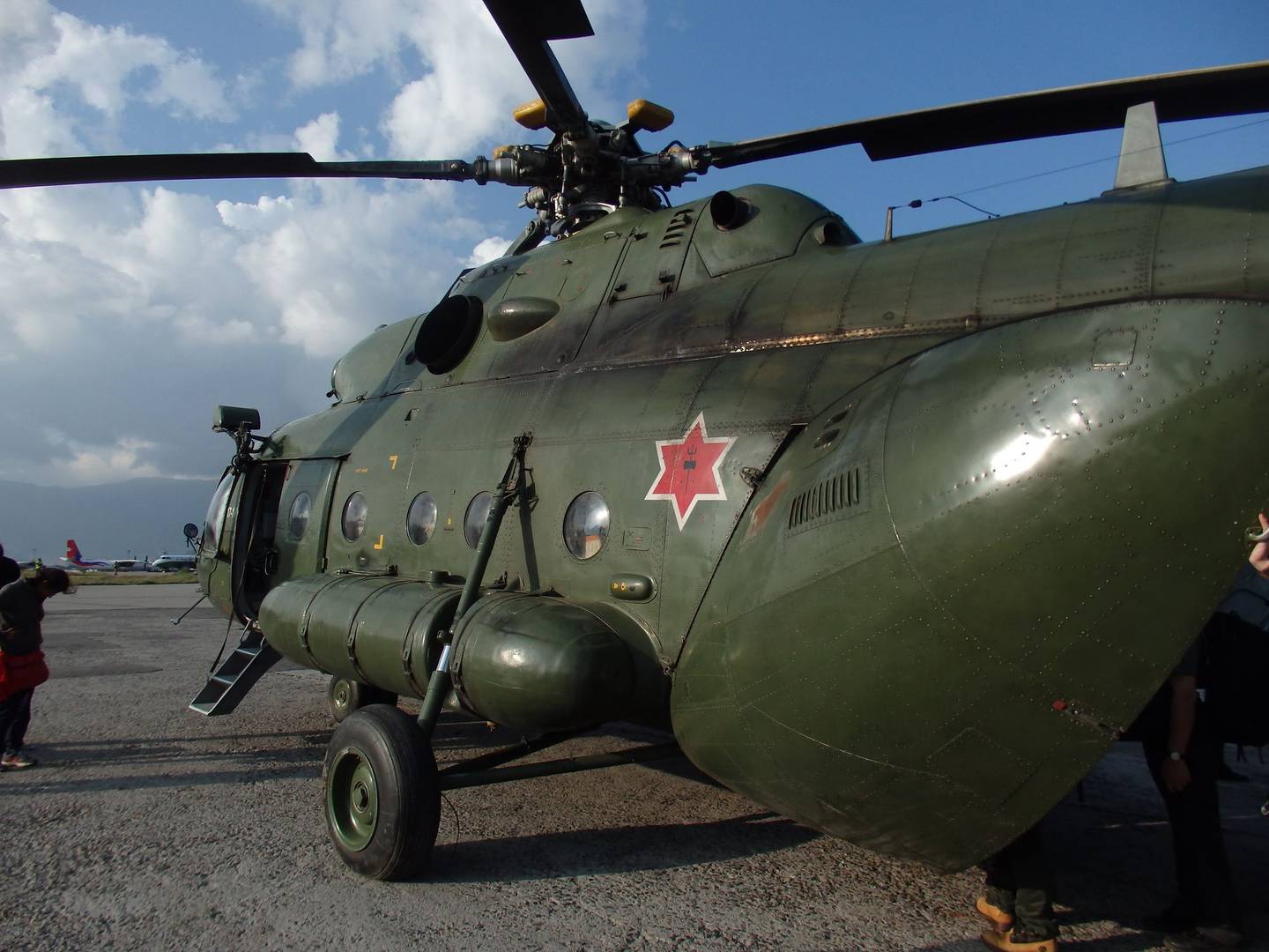
| 26 Aug, afternoon | An Army Mi-17 flies an emergency medical team to District Hospital Trishuli |
| 26 Aug, evening | More Army and private helicopters are committed |
| 28 Aug | The barrier lake overflows. Rescue flying stops for about 90 minutes, then resumes |
| 29 Aug | Survivors are airlifted to the Army camp in Nuwakot |
| 30 Aug | The Army reports 2,697 rescued from Rasuwa. Four air holes are drilled into the Upper Trishuli 3A tunnel |
Compiled from Nepali and international reporting between 26 and 31 August 2026. Times are local.
What caused the Nepal flood in 2026?
The first reports called this a glacial lake outburst flood, which people who work in the mountains shorten to GLOF. It is worth knowing what that means, because this was close to one without quite being one.
The idea is simple. A melting glacier leaves behind a wall of loose rock and gravel. Water collects behind that wall. Nobody built it and nobody maintains it. One day it fails and the water leaves all at once.
In Rasuwa the wall was not an old one sitting there for decades. It was made on the day, out of the ice and rock that fell into the Lhende Khola. The river was blocked and released within minutes, so the first text alerts, at about 9.15am, reached people after the water had.
Scientists looked at a glacial lake first and moved away from it. What they describe instead is an ice and rock avalanche off Langtang Lirung that made its own dam and broke it the same morning.
Researchers at ICIMOD and partner institutions in Nepal and China were still investigating the exact trigger at the end of August. An ice and rock avalanche was the leading explanation rather than a settled finding. In October ICIMOD concluded it was not a conventional glacial lake outburst flood: a bedrock failure on Langtang Lirung sheared away part of a glacier, sending some 132 million cubic metres of rock and ice into the Lhende Khola.
It never rained, so why did the river rise?
Nepal floods every monsoon, so most people assumed the rain did this. It did not.
There had been no rain in the area for the previous 24 hours. Nothing downstream looked like flood weather, and that is why so many people were caught in the open along the riverbank.
Seismometers did pick it up, but the USGS later traced the signal to the collapse itself, not an earthquake. The ground shook because of the collapse rather than the other way round.
What the flood took, in one morning
The Betrawati to Rasuwagadhi section of the Pasang Lhamu Highway is the only road into upper Rasuwa, and it was cut at many points along with dozens of bridges. On the first day the government counted 19 motorable bridges and about 40 kilometres of road damaged, as the Kathmandu Post reported on 26 August; later counts were higher.
In Nepal the road and the river share the valley floor, because there is nowhere else flat enough to build. When a flood scours the riverbed it takes the road with it, and there is no second route to fall back on.
| What | Detail |
|---|---|
| Bridges | Dozens across Rasuwa, Nuwakot and Dhading, including the Miteri Bridge |
| Road | The Betrawati to Rasuwagadhi section of the Pasang Lhamu Highway, cut at many points |
| Helipad | Timure, swept away; crews later landed on improvised ground |
| Border post | The Rasuwagadhi customs building |
| Power | The 220 kV Trishuli 3B Hub substation |
| Vehicles | Cargo vehicles parked in the Timure customs yard; no full count published |
| Hydropower | Projects along the Trishuli, including tunnels where workers were trapped |
| Economy | Early government estimates ran to hundreds of billions of rupees |
As reported by Nepali outlets between 26 and 30 August 2026. Assessments were still being updated, and the figures here are the first week's.
What was lost, and what it costs
Early government estimates put infrastructure damage in the hundreds of billions of rupees, and any such figure moves, because nobody costs a rebuilt gorge road in a week and hydropower losses are counted separately.
Hydropower took the worst of it. Projects along the Trishuli were hit directly, tunnels flooded with shifts underground, and the 220 kV Trishuli 3B Hub substation was reported destroyed. Around a dozen plants came off the national grid. Nepal sells power to India in the wet season and buys it back in the dry one, so generation lost in Rasuwa turns up on the national books within months.
Then there is the season. Autumn is when Langtang and the Tamang Heritage trail earn their year, and the road that carries those trekkers in is the road that has gone. That cost lands on lodge owners and guides rather than on any ministry, and it may not appear in any damage assessment.
What happened on the Tibetan side?
The ice and rock came off the north face of Langtang Lirung, close to the frontier, and Gyirong on the Tibetan side was hit as well.
Deaths and hundreds of missing people were reported on the Chinese side, foreigners among them. Gyirong county, which Nepalis call Kerung, took damage along the same river.
The Miteri Bridge went with the water. People also know it as the Nepal China friendship bridge, and it carried the main trade route between the two countries. With the bridge gone and the customs building destroyed, Rasuwagadhi stopped functioning as a border crossing.
Chinese authorities ordered evacuations at Jilong port because of the new lake sitting above it, and later suspended their own rescue work when it began to overflow. Both governments spent the following week watching the same body of water from opposite sides.
How many people died in the Nepal flood?
Sources disagreed and the figures moved daily, which is normal in the first week. This article does not track them; a current news source will have the latest count.
On 1 September 2026, the day after this article was written, Nepal's National Disaster Management Authority said at least 1,003 bodies had been recovered and 3,916 people were missing across Nepal, as ABC News reported. Hydropower workers and foreign trekkers were among the missing, and the count kept rising. In mid-October ICIMOD, citing the authority, put Nepal's toll at 1,451 dead and 5,745 missing, with Chinese authorities reporting 43 dead and 519 missing in Tibet.
The great majority of those brought out were Nepali. Among the about 216 foreign nationals the Army flew out were 121 Indians, 72 Chinese, 15 South Koreans, four Germans, two Americans, two Italians and one Omani, as the Kathmandu Post reported on 30 August.
Thousands of Army, police and Armed Police personnel were mobilised. Treat every figure in this section as a snapshot of the first week rather than a final count.
What the helicopters actually did?
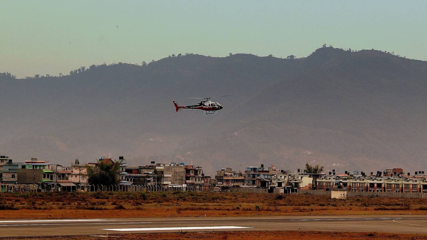
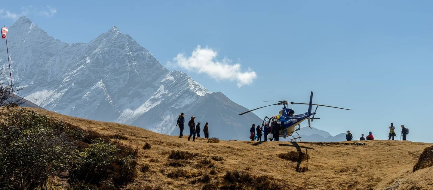
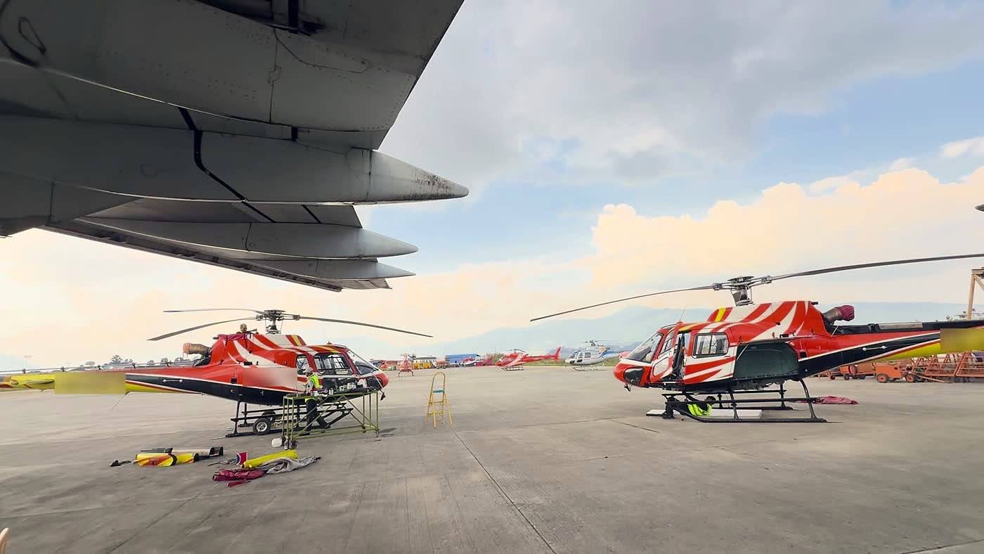
With the road gone there was one way in and one way out. Army and private helicopters flew together from the first day, with 16 aircraft and 49 flights on 26 August alone, and around 30 helicopters were working the corridor by 3 September.
By the morning of Sunday 30 August the Army had rescued 2,697 people from Rasuwa. Of those, 2,497 came out by air from four points, Timure, Syabrubesi, Dhunche and Mailung, according to the Kathmandu Post. On Friday 28 August alone, hundreds were airlifted out of the district. By 6 September the National Disaster Management Authority counted 13,095 people rescued by the Army, Police and Armed Police together; the Army had airlifted 3,957 of them, across 881 Army-coordinated and 129 private flights, as Onlinekhabar reported.
On the day of the flood an Army Mi-17 carried an emergency medical rescue team in to District Hospital Trishuli, which had gone from a quiet district facility to the receiving hospital for a national disaster overnight.
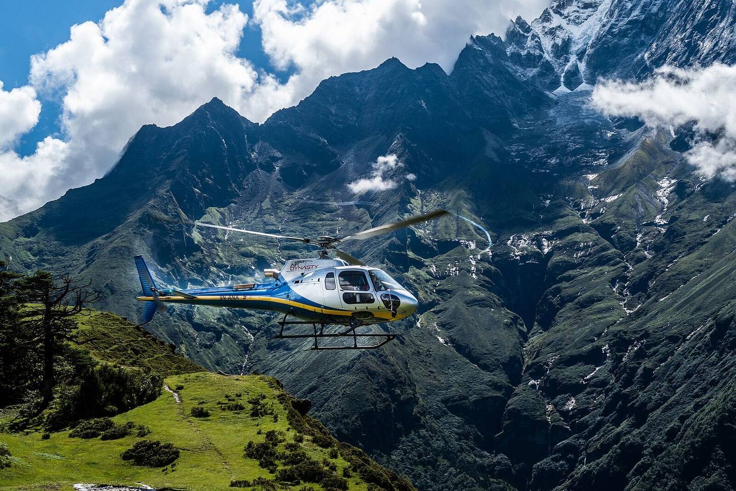
Helicopters also carried machinery. The Army airlifted dismantled excavators and bulldozers to Battar in Nuwakot, to help clear the approach to the Upper Trishuli 3A tunnel. Diggers were needed to move debris and search collapsed buildings, and with the road gone there was no way to drive one in. Slinging plant into a valley is ordinary mountain work here, and it is why a helicopter in a disaster is more than an ambulance.
The hardest rescue of all was underground
Water entered the tunnels at the Upper Trishuli hydropower project while shifts were underground.
Rescue teams drilled openings into the Upper Trishuli 3A tunnel so they could pump air inside, and the government asked India and China to send tunnel rescue specialists.
Upper Trishuli 3A was not the only project hit. Hundreds of workers were reported missing across the damaged projects, many of them believed to be underground.
Heavy rain from the early hours of 30 August flooded the excavation at the Trishuli 3A tunnel mouth and stopped the work again.
Helicopters kept that operation supplied and moved its casualties, but the work itself was drilling and pumping, done by hand at the tunnel mouth.
The ninety minutes when every helicopter stopped
Debris from the flood dammed the river a second time and formed what is called a barrier lake.
On Friday 28 August the lake began to overflow. Officials in Rasuwa were told the lake had broken its banks and that a fresh flood or landslide could follow. The places teams most needed to search became the most dangerous places to stand.
Nepal stopped its search flying for about 90 minutes, as reported at the time, and Chinese teams pulled back to high ground. Local people were seen running uphill. Flying resumed the same day once the risk was judged manageable.
Heavy rain later halted work along the Trishuli again as the river rose and residents were moved out. This is the part outsiders find hardest to picture. The weather and the water decide when anyone flies, not the schedule.
Could you fly into Langtang at the end of August?
As of 31 August 2026 there was no single answer that stayed true for a week, and the position has moved since. Ask the flight desk before you plan around a landing in Rasuwa.
Four things decide access to any one destination. The weather that morning, the condition of the landing site, whether an aircraft is free, and whether permissions are in place. The Timure helipad was swept away, and the first rescue helicopter turned back with nowhere safe to land, though crews later put down on improvised ground.
Crews, as much as aircraft, set the pace: the Civil Aviation Authority of Nepal's monsoon rules normally require two pilots on helicopter flights, but this was relaxed for the Rasuwa rescue so that single pilots could fly, according to Nepali aviation reporting.
The practical advice is short. Ask about the specific landing site rather than the region, expect to confirm on the morning, and build a spare day into the plan.
Was the road to Syabrubesi open at the end of August? Was the border?
No, and it was not expected to be for a while.
The Pasang Lhamu Highway is the only road from Kathmandu to Syabrubesi, and it was cut at many points. Beyond Syabrubesi, towards Timure and the frontier, the road and its bridges are destroyed outright.
Nobody had published a credible reopening date by the end of August. Rebuilding a road through a gorge the river has just stripped takes seasons rather than weeks.
Rasuwagadhi lost both its customs building and the Miteri Bridge, which is the crossing itself. Whether it reopens is a decision for the Nepali and Chinese governments, and on the Chinese side Jilong was under evacuation orders because of the barrier lake. If you are travelling for Kailash through Kerung, your own operator is the only source worth relying on.
Is it safe to travel to Nepal after the flood?
Check the valley, not the country. Nepal has many river systems and this flood hit one of them. Everest, Annapurna and Mustang were not touched.
The Kathmandu valley did not flood, but do not read that as no disruption. The Prithvi Highway west of the capital was blocked for several days at the end of August, cutting the Mugling to Kathmandu section.
If Langtang is your trip, the news is better than it sounds. The flood came down a different drainage from the one the Langtang trail follows, so the walking above Syabrubesi is likely to be intact. No survey of the full route had been published by the end of August, and the Nepal Tourism Board had asked travellers to postpone trips into the Rasuwa corridor.
So the walking is still there. Only the way in has gone, and while the road is out there is no ordinary way to reach the valley. Travellers with Langtang or Tamang Heritage bookings should speak to their trekking agency before heading towards Rasuwa, because the agency holds the permits and can move the dates.
Separately, we have written on how a mountain rescue actually gets started. What a travel policy has to cover before it will pay for one is rarely what people assume.
| Region | Where it stands |
|---|---|
| Langtang valley | A separate drainage from the flood. No survey published. Road cut. Ask your agency |
| Gosaikunda | Same road and the same problem. Ask before you commit |
| Tamang Heritage trail | Reached through Syabrubesi, so access is affected |
| Manaslu | A different river, but reached via the Prithvi Highway, which was cut. Ask your operator |
| Everest and the Khumbu | A different river system entirely. Unaffected |
| Annapurna | A different river system entirely. Unaffected |
| Mustang and Pokhara | Trails and towns fine. Prithvi Highway access was disrupted |
| Kathmandu valley | No flooding. The Prithvi Highway west of the city was cut |
Position as at 31 August 2026, not updated since. Road and trail status in Rasuwa was changing week to week, so confirm with your trekking agency rather than with this table.
Will a flood like this happen again?
There is more meltwater in the Himalaya than there used to be, and more lakes held back by loose rock. More lakes means more that can fail. That much is measured.
Tying any single flood to that trend takes months of work, so nobody can tell you this one was caused by a warming Himalaya. What can be said is that the conditions for it are more common than they were, and that warning systems able to detect a mountain collapse on these rivers are the part still missing.
Questions this article answers
What caused the Nepal China flood in 2026?
A mass of ice and rock broke away from the north face of Langtang Lirung at 8.37am, at about 5,200 metres by early estimates, and fell more than a kilometre into the Lhende Khola on the border. In October ICIMOD concluded it was a bedrock failure that sheared away part of a glacier, not a conventional glacial lake outburst. The surge ran down the Bhote Koshi and into the Trishuli within minutes.
How many helicopters were used in the Nepal flood rescue?
Sixteen Army and private helicopters flew 49 flights on the first day, 26 August 2026, and around 30 were working the corridor by 3 September, according to Nepali reporting. An Army Mi-17 carried an emergency medical team to Trishuli district hospital, and the Army airlifted dismantled excavators and bulldozers to Battar in Nuwakot for the work at the Upper Trishuli 3A tunnel.
How many people were rescued by helicopter in Rasuwa?
The Nepali Army reported rescuing 2,697 people from Rasuwa by the morning of Sunday 30 August 2026, of whom 2,497 were lifted out by air from Timure, Syabrubesi, Dhunche and Mailung. On Friday 28 August alone the Army had airlifted 449 people out by lunchtime. By 6 September the Army had airlifted 3,957 people in all, as Onlinekhabar reported.
How many people died in the Nepal China flood?
On 1 September 2026 Nepal's National Disaster Management Authority said at least 1,003 bodies had been recovered and 3,916 people were missing across Nepal, as ABC News reported that day. Chinese authorities reported further deaths and missing on the Tibetan side. In mid-October ICIMOD, citing the authority, put Nepal's toll at 1,451 dead and 5,745 missing, with 43 dead and 519 missing in Tibet.
Why were helicopter rescue flights stopped in Rasuwa?
Helicopter rescue flights in Rasuwa were stopped for about 90 minutes on Friday 28 August 2026, after a barrier lake on the Tibetan side began to overflow. Local people were seen running uphill while the risk was assessed. Operations resumed the same day once officials judged the risk manageable.
Were helicopter flights to Langtang and Rasuwa running after the flood?
At the end of August 2026 there was no blanket answer to whether helicopter flights to Langtang and Rasuwa were running, and access may have changed since. It has to be assessed for each destination against weather, landing site condition, aircraft availability and permissions. The Timure helipad was swept away, and the first rescue helicopter turned back with nowhere safe to put down, though crews later landed on improvised ground.
What happened to the workers trapped in the Upper Trishuli tunnel?
Hundreds of hydropower workers were caught when water entered tunnels at the Upper Trishuli project. Rescue teams drilled openings into the Upper Trishuli 3A tunnel to pump air inside, and tunnel rescue specialists came from India and China. Hundreds of workers were reported missing across the damaged projects, many of them believed to be inside tunnels.
Is it safe to travel to Nepal after the 2026 flood?
As of the end of August 2026, most of Nepal was untouched by the flood, which hit one river system. Everest, Annapurna, Mustang and the Kathmandu valley carried on as normal. Rasuwa is the district to ask about, and travellers with Langtang or Tamang Heritage bookings should speak to their trekking agency before setting off.